Karte #13208
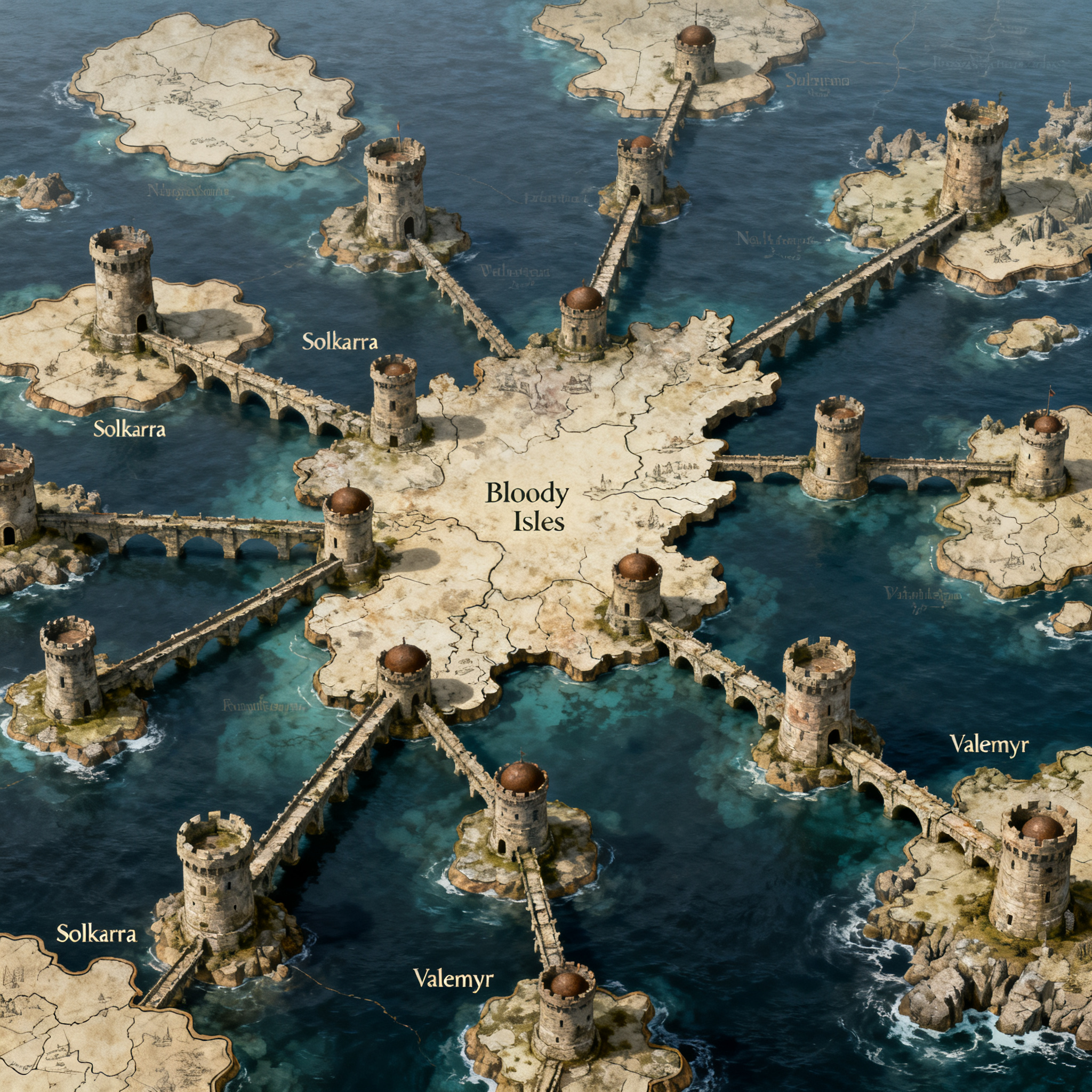
Prompt: Transform the attached hand-drawn sketch of THE SOUTH into a highly detailed, professional fantasy map suitable for a published epic fantasy novel, inspired by the cartographic style of A Song of Ice and Fire.CRITICAL: The original sketch is the definitive geographical reference. Do not redesign, reinterpret, or rearrange its structure.Geography and layoutThe South is a vast archipelago consisting of numerous isolated islands connected by an ancient, interconnected system of bridges and fortified towers.Follow these rules precisely:Every irregular enclosed shape represents an island. Preserve its approximate outline, size, position, and distance from neighboring islands.Every drawn line represents a physical bridge spanning the sea. These are NOT roads, rivers, borders, or coastlines.Every solid dot represents a tower. Towers stand at significant points along the bridge system, especially junctions where multiple bridges converge.Preserve the original bridge connections and their intersections. Do not connect islands that are disconnected in the sketch.Preserve the geographical arrangement of the northern, central, eastern, western, and southern island groups.The largest central island is labeled Bloody Isles. Preserve its location and distinctive shape.Retain the place names visible in the original sketch, including Solkarra and Valemyr, placing each in its corresponding location.The empty spaces between islands are open sea, not land.The bridgesThe bridges are the defining feature of this world.Depict them as extraordinarily long, ancient stone constructions stretching across vast distances of open water. Their appearance should suggest centuries of engineering, construction, warfare, and repair.Some bridges connect islands directly, while others meet at isolated towers surrounded entirely by water.The towers should be imposing medieval fortifications built into the bridge network, with recognizable defensive architecture.Bridges should remain relatively thin on the map, while towers should be represented by distinctive but restrained cartographic symbols.Artistic directionCreate an authentic medieval fantasy map with intricate inkwork on aged parchment.Use finely detailed coastlines, subtle coastal cliffs, delicate stippling, restrained sea shading, miniature fortified tower illustrations, and carefully rendered stone bridges.The aesthetic should be historical, grounded, and atmospheric, evoking the maps found in the opening pages of George R. R. Martin's novels.Use a warm ivory parchment background, dark brown and black ink, restrained sepia accents, elegant serif lettering, and a small ornamental compass rose.CompositionPerfectly overhead, flat 2D cartographic perspective.Match the original sketch's overall proportions and relative geographical positions.Preserve the entire network of islands, towers, and bridges.Make the unusual bridge network immediately recognizable.Maintain clear visual separation between land, water, towers, and bridges.High-resolution professional book-quality illustration.Do not introduce large continents, additional islands, new bridges, invented tower junctions, mountains that obscure the geography, modern infrastructure, or decorative elements that alter the original map.The final result must look like a master cartographer meticulously illustrated the exact geography shown in the hand-drawn reference, not like an AI invented a new fantasy map.